
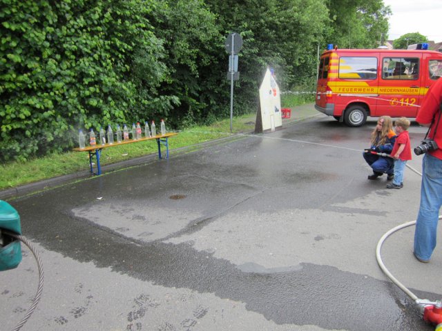
img_0326

img_0331

img_0332

img_0333

img_0334

img_0335

img_0336

img_0337

img_0338

img_0340

img_0341

img_0342

img_0345

img_0346

img_0347

img_0348

img_0349

img_0351

img_0355
img_0358
Powered by Phoca Gallery
Suchen
Letzte Änderungen
Wetterwarnungen
| Wetterwarnung für Rheingau-Taunus-Kreis : |
|---|
| Amtliche WARNUNG vor STURMBÖEN Donnerstag, 30.Jul. 10:00 bis Donnerstag, 30.Jul. 15:00 |
| Es treten Sturmböen mit Geschwindigkeiten zwischen 65 km/h (18 m/s, 35 kn, Bft 8) und 85 km/h (24 m/s, 47 kn, Bft 9) aus westlicher Richtung auf. |
| Amtliche WARNUNG vor STURMBÖEN Donnerstag, 30.Jul. 12:00 bis Donnerstag, 30.Jul. 17:00 |
| Es treten Sturmböen mit Geschwindigkeiten zwischen 65 km/h (18 m/s, 35 kn, Bft 8) und 85 km/h (24 m/s, 47 kn, Bft 9) aus westlicher Richtung auf. |
| Amtliche WARNUNG vor HITZE Mittwoch, 29.Jul. 09:00 bis Donnerstag, 30.Jul. 17:00 |
| Am Mittwoch wird bis zu einer Höhe von 400m eine starke Wärmebelastung erwartet. Am Donnerstag wird eine starke Wärmebelastung erwartet. |
 |
| 3 Warnung(en) aktiv Quelle: Deutsche Wetterdienst Letzte Aktualisierung 30.07.2026 - 05:14 Uhr |